When one door closes, another opens.
I returned to my second track project, which has been on hold for some years.
It's Dessauer Rennstrecke, a historic track of the 1950s located in East Germany.
I want to do all three major configurations.
I'm not sure about the 1955 configuration, could have been the B or the C layout.
Start/finish in C layout is uncertain too. In 1952 it was in the woods, for 1953 I have no information.
Footage is rare – I have about 100 photos – some things have to be guessed and I have to use some of the trackside elements for all layouts, although I have only evidence for a certain year.
I had quite good elevation data (with an accuracy of 1 meter) and a shaded relief, but especially the motorway access changed a lot. Fortunately the demolished road parts are still visible in Google Maps. Nevertheless there is a high probability for errors.
I have been there in 2016. You still can see the remains of the steep turn in the forest.
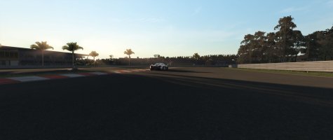
Here is a track map and first screenshots.


