Hi everyone,
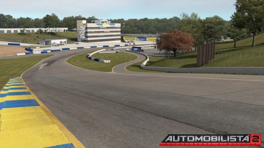
I've got a racing track scanned with Lidar.
My track is modelised. Now I want to use pointclouds do make high-res track surface. Okay.
With CloudCompare (freeware), I can save my pointcloud as .asc, .txt, e57, pcd, pts, xyz....
I've read notice to convert as .rcd...
My global questions :
1)how to convert a .asc or .pts file as .rcd
2) how can I import in TrackEd ?
3) how can I edit in TrackEd ?
and my questions about informations contained in notice :
1) I should create a .ase file with 3dsmax. How can I do ? 3dsmax 2010 cant' read pointclouds, so I can't export .ase !
2) I should start a race and open a console command. (I copy from website, it's "Shift -~")
I can find "SHIFT", I can find "-" (I guess), but where is "~" ?
If you already have luck to use Lidar in Racer...thanks for your help...
