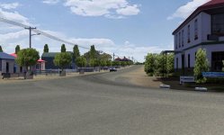
well, like i mentioned above and as far as i can tell, a lot of it has to do with matching texture colours relative to the air temperature. One thing i did was take texture photos (which themselves lend a huge amount to realism), but taking them at the same location (Longford) at the same time of year (late feb/early march) at the right time of day (early-mid afternoon) on a day with similar weather conditions (hot). There were a couple of days i was wandering around Longford in shorts and thongs with a camera looking suspicious, searching for nice trees and bushes. A few of the trees you see in the video are the actual trees on the side of the track. Because it is meant to be a hot day there is also a slight haze/fog, which is also shown up on the horizon textures with pale blue mountain ranges (yes, the actual ranges around Longford).
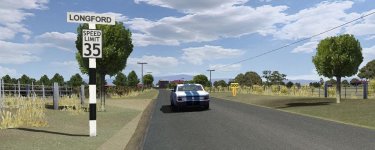
Textures of trees are particularly sensitive to the time of day. If it's late afternoon, not only do the trees change colour with the light, but the shadows move and the tree looks quite flat, which is not good for X-trees! When the sun is still high in the sky the shadows give lots more depth to the texture. Shooting them with the sunlight slightly off to one side helps with the depth too.
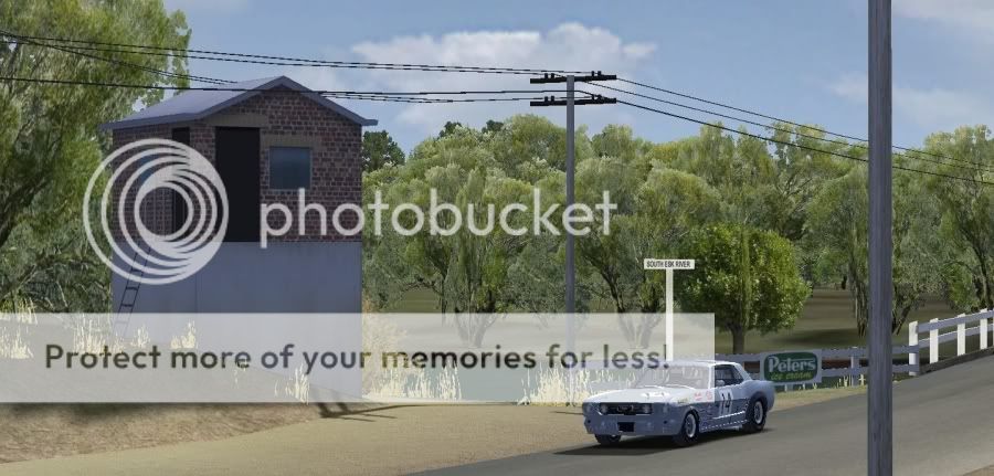
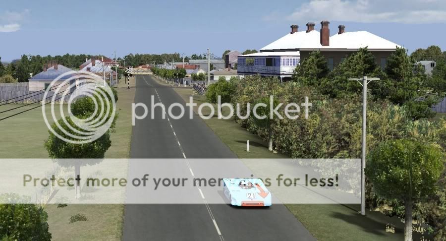
I've found overhead objects are great for immersion too for some reason. It really took off once i got the power poles in there, even though the actual power lines are pretty crappy so far, just having stuff up there really helps.
Google Earth helps as much as anything else. The grass textures are modulated by the real-world tones of the grass, so it even shades slopes and banks, or damp areas, green/dead grass. At the very least multiply maps help a lot. It beats the crap out of the same 1024x1024 grass texture around the whole track. And make sure the grass isn't too bright, or too dull. It all depends on the sunlight, location and time of year and don't forget the sunlight/fog/shadow setting can be changed in the .scn and .gbd files.
So, matching hue and saturation, use the terrain blend with Google Earth images, taking appropriate source photos for photo-realistic textures, and recreating the environment as it is. You shouldn't need to invent anything really, it's all there already, you just copy it
")
i should also mention
http://www.oldracephotos.com/ has been a HUGE help with reference photos. I wasn't even nearly born when they stopped racing in Longford and lots has changed since. However i would have finished ages ago if i didn't have those photos, cause i've got no real excuse not to look at them and make the track, terrain, objects as close as i can. Every time i look at the photos i find something that needs improvement.