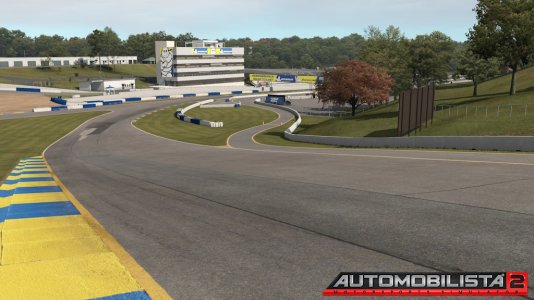
I came across this video
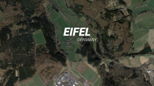
and was wondering if it's possible you can use google street view images like this and use them as the surroundings on your track.
The road detail wouldn't be important, but it would be good to have realistic images just like you see on street view as your surroundings.
Are there any videos out there explaining how to do this?
The road detail wouldn't be important, but it would be good to have realistic images just like you see on street view as your surroundings.
Are there any videos out there explaining how to do this?
