Hi all,
Sorry if this has been asked before.
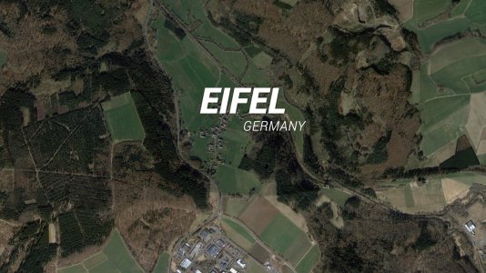
Are there any sites or programs which allow you to select a few kilometres square of a map, and then download (reasonably) hi-res images of the exact same selected area in both a greyscale heightmap format and a satellite image format?
Thanks,
William
Sorry if this has been asked before.
Are there any sites or programs which allow you to select a few kilometres square of a map, and then download (reasonably) hi-res images of the exact same selected area in both a greyscale heightmap format and a satellite image format?
Thanks,
William


