Hey guys,
Someone asked me to put more of my knowledge online.
So I'm happy to share my tutorial on how to use satellite data as reference material to built a track upon. In case you need more perfection or having issues with proportions for example it's very handy to have reference material in your 3D scene. It saved me headages and many research. Over the years I have used many tricks but this one is the fastest way I think to work a track out from scratch.
I can all copy paste it but I dropped it on my public available patreon blog:
https://www.patreon.com/posts/44691029
I wrote it down as simple as possible to follow.
If you follow the tutorial, you can go from this osm 2D view:

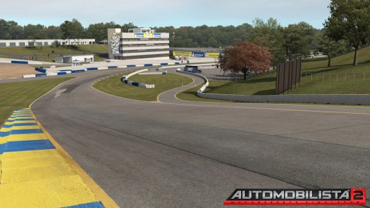
to this 3d view:

If you have more questions, drop them below so I can expand the tutorial for modders loving the stuff like I do

I dropped it here to help other modders going fast forward.
BTW I once said it here but yes I'm building a fresh Fuji 2021 version in coming months.
It's public available and it's not my intention to spam here

Someone asked me to put more of my knowledge online.
So I'm happy to share my tutorial on how to use satellite data as reference material to built a track upon. In case you need more perfection or having issues with proportions for example it's very handy to have reference material in your 3D scene. It saved me headages and many research. Over the years I have used many tricks but this one is the fastest way I think to work a track out from scratch.
I can all copy paste it but I dropped it on my public available patreon blog:
https://www.patreon.com/posts/44691029
I wrote it down as simple as possible to follow.
If you follow the tutorial, you can go from this osm 2D view:

to this 3d view:

If you have more questions, drop them below so I can expand the tutorial for modders loving the stuff like I do

I dropped it here to help other modders going fast forward.
BTW I once said it here but yes I'm building a fresh Fuji 2021 version in coming months.
It's public available and it's not my intention to spam here


