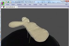
Your welcome to my BTB save to see how it compares, the elevation data is not finshed yet but its there if you want it.
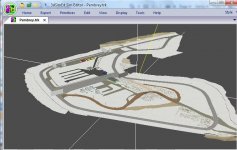
I originaly started developing a circuit based at a dissused WWII areodrome near Notts but that turned into a 6/7km monster with several layouts, so I started Thruxton as its smaller.
I'd also like to see your finshed version in rF so I can get a referance of the building, seems like you've got them spot on and I've got no idea what half of the look like, I might soilder on with my thuxton baby as it would be good to see it in GTRe (as I have got into racing the GTRe Minis here at RD )and maybe a high detailed rF2 version but I'm also going to start thinking about another project, part fictional but based some sort of real life topographical data.
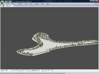
How do you go about collecting hight data for a circuit or for anywhere for that matter?
")