el_locho
El Locho
Shamelessly just copy & pasting this from my post in the "What Are You Working On?" thread.
New York Safety Track
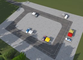
A 2.1-mile, 18-turn, omni-directional racetrack ... on the site of the still-functional Mountain Top Airport between the cities of Harpersfield and Davenport in New York, approximately 50 miles west of Albany.
Having started the project in August of last year, the current version of the track is based on aerial LIDAR data from 2014, but I'm planning to re-do the relevant parts using the newer 2018 dataset that's been released just before Christmas.
My initial plan was to utilize TreeFX for the trees, but that didn't perform well on my system (5800x/RTX3080/Rift S) in VR which is why I'm using the good old 2d trees for now - which I would have implemented anyway because, apparently, there are still a lot of people out there that don't use CSP, for whatever reason.
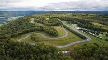
Another benefit of using 2d trees is that seasonal adjustments can be done easily - at least I haven't seen any documentation on how that can be achieved with TreeFX, yet - which is definitely a must for this track:
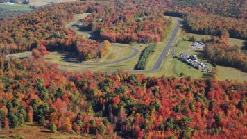
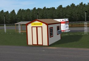
I haven't decided yet on how to proceed with this track, i.e. whether I should release my current version as a beta for people to toy with and give feedback - or if I should keep it private until everything is polished and all (most) issues are ironed out. What I can say however, is, that I could definitely need a hand with photos (textures) and maybe some measurements from somebody who's famliar/close to the track that. There are still some shacks that I haven't modelled yet and the kiosk as well as both hangars could need some better textures, hence why the old hangar's front is still red...
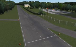
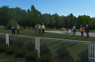
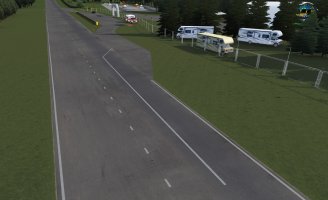
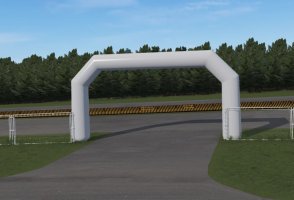
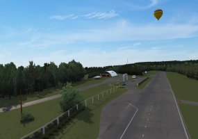
A few in game shots
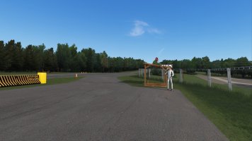
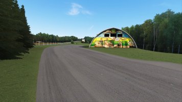
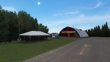
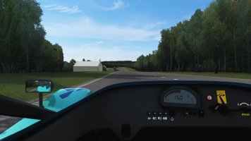
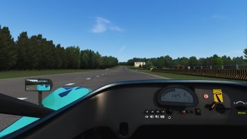
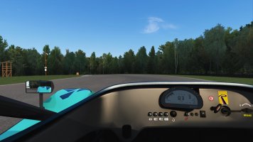
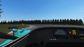
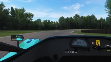
New York Safety Track
A 2.1-mile, 18-turn, omni-directional racetrack ... on the site of the still-functional Mountain Top Airport between the cities of Harpersfield and Davenport in New York, approximately 50 miles west of Albany.
Having started the project in August of last year, the current version of the track is based on aerial LIDAR data from 2014, but I'm planning to re-do the relevant parts using the newer 2018 dataset that's been released just before Christmas.
My initial plan was to utilize TreeFX for the trees, but that didn't perform well on my system (5800x/RTX3080/Rift S) in VR which is why I'm using the good old 2d trees for now - which I would have implemented anyway because, apparently, there are still a lot of people out there that don't use CSP, for whatever reason.

Another benefit of using 2d trees is that seasonal adjustments can be done easily - at least I haven't seen any documentation on how that can be achieved with TreeFX, yet - which is definitely a must for this track:

I haven't decided yet on how to proceed with this track, i.e. whether I should release my current version as a beta for people to toy with and give feedback - or if I should keep it private until everything is polished and all (most) issues are ironed out. What I can say however, is, that I could definitely need a hand with photos (textures) and maybe some measurements from somebody who's famliar/close to the track that. There are still some shacks that I haven't modelled yet and the kiosk as well as both hangars could need some better textures, hence why the old hangar's front is still red...
A few in game shots


Last edited:
